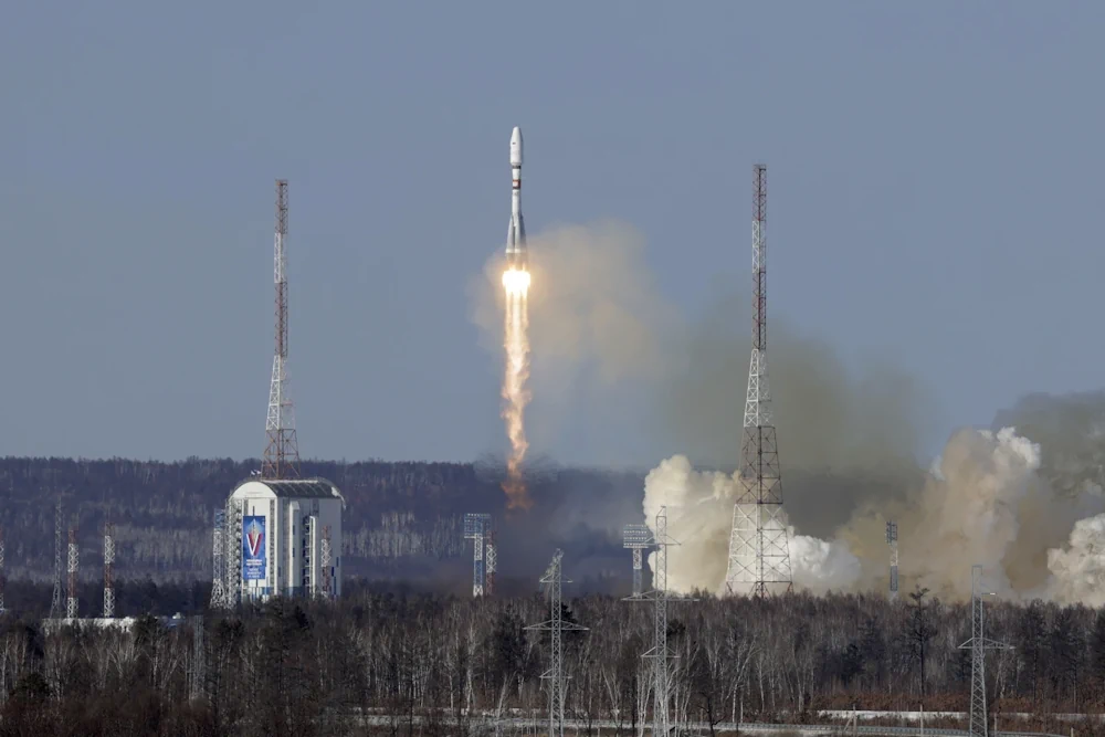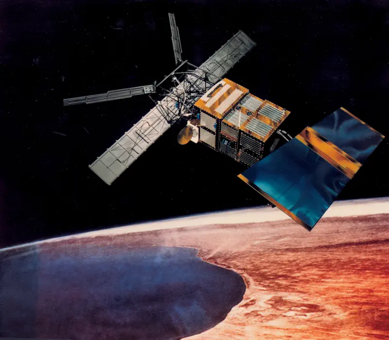
Satlantis Añade El Tercer Satélite A Su Constelación
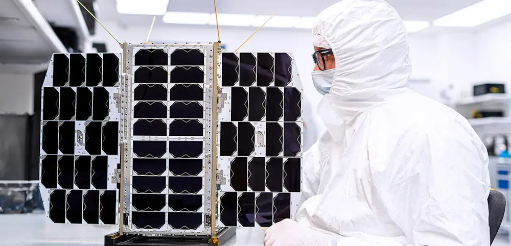
El satélite Horacio de 16U será el tercer satélite de Satlantis que lleve su imagen iSIM-90 al espacio. Sus datos de alta resolución proporcionarán información para múltiples aplicaciones de observación de la Tierra, como monitorización de infraestructuras, cuantificación de emisiones de gas metano, seguridad alimentaria y conciencia costera y fronteriza. Se trata de una misión ...
actualidadaeroespacial.com