Geomaticians

Meteorology

Ships Release Invisible Contrails That Slightly Cool The Climate

Peter Manshausen at the University of Oxford and his colleagues have found that clouds that had appeared unaffected are in fact affected by the aerosols. The researchers mapped the paths of two million ships in the Atlantic Ocean over a six-year period and used a global database for the winds on the trade routes the ...
newscientist.com
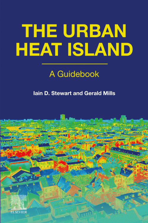
The Urban Heat Island A Guidebook

The Urban Heat Island: A Guidebook

The Urban Heat Island (UHI) is an area of growing interest for many people studying the urban environment and local/global climate change. The UHI has been scientifically studied for 200 years and, although it is an apparently simple phenomenon, there is considerable confusion around the different types of UHI and their assessment. The Urban Heat ...
sciencedirect.com
Ants Underground Help NASA Scientists Discover Snow Depths On Earth

Ants Underground Help NASA Scientists Discover Snow Depths On Earth

Using older models and newer methods, Hu and the team of scientists conclude that ants and photons are extremely alike in the realm of snow-depth research. This helped the principle come to fruition that light bouncing around in snow would produce gaugable and viable results. ICESat-2 (Ice, Cloud, and Land Elevation Satellite-2) now reads light ...
studyfinds.org

New Classification Of The World’s Coastlines To Improve Climate Action

A new classification of the world’s coastlines has been released to improve coastal climate change adaptation at local, regional and national level and strengthen coordinated climate action worldwide. The classification builds on the Coastal Hazard Wheel that is a universal coastal management framework and is developed by the Coastal Hazard Wheel initiative involving Deltares, the ...
Remote Sensing Helps In Monitoring Arctic Vegetation For Climate Clue

Remote Sensing Helps In Monitoring Arctic Vegetation For Climate Clues

Monitoring vegetation shifts in the Arctic can help scientists understand how the area is changing as the world warms. Already, researchers have documented expansion of boreal forests into the tundra. And at many sites in the region, the tundra is greening up, according to recent satellite observations. NASA postdoctoral fellow Andy Maguire says these vegetation ...
yaleclimateconnections.org
China Launches 16 Commercial Remote Sensing And Weather Satellites

China Launches 16 Commercial Remote Sensing And Weather Satellites

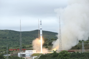
China has carried out its ninth orbital mission within the last 30 days, sending 16 new commercial satellites into orbit with a Long March 6 rocket. The Long March 6 rocket lifted off from Taiyuan, north China, on Wednesday (Aug. 10) at 12:50 a.m. EDT (0450 GMT, 12:50 p.m. local time), the China Aerospace Science ...
space.com
Biden Administration Launches Heat.Gov With Tools For Communities Facing Extreme Heat

Biden Administration Launches Heat.Gov With Tools For Communities Facing Extreme Heat

Today, the Biden Administration through the interagency National Integrated Heat Health Information System (NIHHIS) launched Heat.gov, a new website to provide the public and decision-makers with clear, timely and science-based information to understand and reduce the health risks of extreme heat. Heat.gov will provide a one-stop hub on heat and health for the nation and ...
noaa.gov
Volunteers Map Spokane To Prepare For Future Heat Waves

Volunteers Map Spokane To Prepare For Future Heat Waves

Community volunteers worked with Gonzaga University’s Center for Climate, Society and the Environment to create a street level heat map of Spokane. Once the data is released, it will guide tree planting, as well as efforts to make the region more resilient to future climate disasters.
spokanepublicradio.org
Mapping Urban Heat From The Ground Up

Mapping Urban Heat From The Ground Up

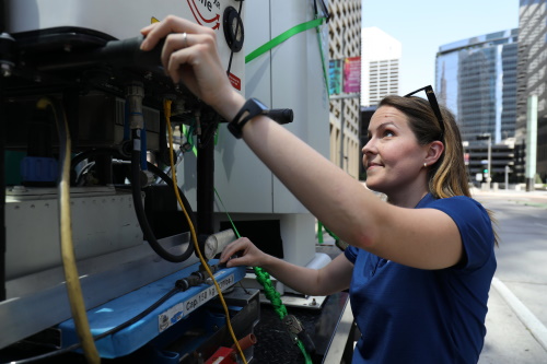
Just one year ago, scientists at the U.S. Department of Energy’s (DOE) Brookhaven National Laboratory assembled a unique mobile observatory for surveying the climate in urban environments. The completely off-the-grid platform maintained by Brookhaven’s Center for Multiscale Applied Sensing (CMAS) employs a suite of instruments to measure atmospheric conditions at fixed locations in individual neighborhoods ...
phys.org

Neues Forschungsprojekt: Warnsystem Für Gefährliche Starkregen Und Sturzfluten

In den vergangenen Jahren gab es in Deutschland immer wieder Sturzfluten mit zum Teil verheerenden Auswirkungen. Ausgelöst wurden sie durch lokalen Starkregen. Eine Warnung vor solchen Ereignissen ist bisher oft nicht möglich, weil ihre Entstehung kompliziert ist und sie meist schnell und räumlich stark begrenzt auftreten. Ein neues Forschungsprojekt soll diese Lücke im Warnsystem schließen. ...
idw-online.de
Air Quality Sensor Network Offers Highly Detailed Pollution Map In Camden

Air Quality Sensor Network Offers Highly Detailed Pollution Map In Camden

Developed by AirScape, the fixed network has 225 AirNode sensors that will provide 45 times more data points and refreshes 60 times more regularly than existing air-quality reference stations, to show a street-by-street picture of air quality in real time. The data collected will be made freely available online to enable individuals, businesses and local ...
eandt.theiet.org
New Interactive Climate Map Shows Impact Of Heat, Flooding In Fairfax County

New Interactive Climate Map Shows Impact Of Heat, Flooding In Fairfax County

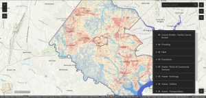
As Fairfax County finalizes its first-ever plan to address the future effects of climate change, community members can see how the phenomenon already affects them with a newly released interactive map. Launched last week, the climate map depicts heat and flooding data that can be viewed in conjunction with maps of the county’s population and ...
ffxnow.com
Airbus-Satellit Soll Das Geheimnis Der Wolken Lüften

Airbus-Satellit Soll Das Geheimnis Der Wolken Lüften

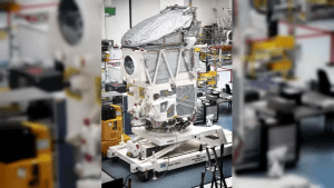
Wolken und Aerosole gelten immer noch als große Unbekannte beim Verständnis unseres Klimas. Mit dem Erdbeobachtungs-Satelliten EarthCARE hat die Raumfahrtsparte von Airbus laut einer Pressemitteilung den entscheidenden „Schlüssel“ fertiggestellt, der das Geheimnis der Wolken lüften und so zu genaueren Atmosphärenmodellen und zu weiter verbesserten Klimavorhersagen beitragen soll.
schwaebische.de