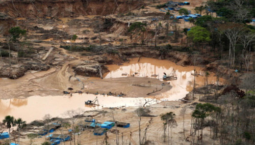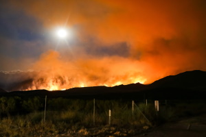
Study Tracks Global Forest Decline And Expansion Over Six Decades
Globally, there was a net loss of 817,000 square kilometers (315,000 square miles) in forest area between 1960 and 2019, according to a new study. That’s nearly 10% more than the size of Borneo, the world’s third-largest island. The study showed that most forest loss occurred in “lower-income” countries as their economies grew, which are ...
news.mongabay.com