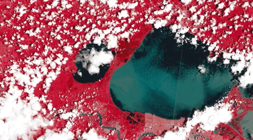
Nearly a quarter of the world’s population now lives in a flood zone, and that number is expected to climb as rising seas and heavier storms triggered by a changing climate put more people at risk. The ability to accurately map flooding events can be key to not only protecting people and property now but steering development to less-risky areas in the future. A new geospatial foundation model unveiled today by IBM is designed to enable first steps toward this goal by converting NASA’s satellite observations into customized maps of natural disasters and other environmental changes. The model, part of IBM’s watsonx.ai geospatial offering, is planned to be available in preview to IBM clients through (EIS) IBM Environmental Intelligence Suite during the second half of this year. Potential applications include helping to estimate climate-related risks to crops, buildings, and other infrastructure, valuing and monitoring forests for carbon-offset programs, and developing predictive models to help enterprises create strategies to mitigate and adapt to climate change.