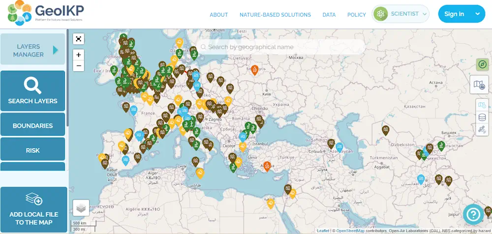
The Geospatial Information Knowledge Platform (GeoIKP) is a collaborative environment designed to support the development and implementation of Nature-Based Solutions (NBS) for mitigating hydro-meteorological hazards. It facilitates access to data, tools, and knowledge exchange, aiding decision-making for citizens, policymakers, companies, scientists, and other users.
Developed within the OPERANDUM project (2018-2022), the platform promotes sustainable solutions to enhance resilience against environmental risks. Key features include catalogues for NBS, policies, and data, an expert portal, a decision-making toolkit, an interactive map, and hands-on stories.